Έκθεση της Thomas H. Mawson & Son Sir Claude προς τον H.A. Hill με τίτλο "Report on Methods & Procedure for the Town Planning of The Isle of Man".
173.206.27 · 1929 Μάιος 27 · Αγγλική · παραγωγή μηχανής, χωρίς έλεγχο
Σάρωση
Πρωτότυπο κείμενο (διπλωματική μεταγραφή)
OCR: πέρασε τους ελέγχους · evren/qwen3-vl-30b
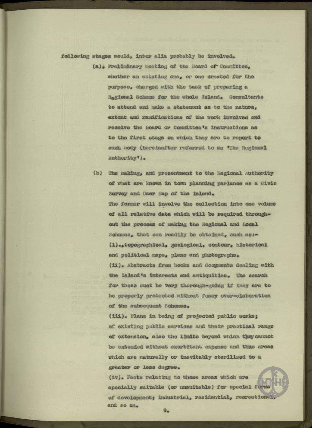
following stages would, inter alia probably be involved.
(a). Preliminary meeting of the Board of Committee,
whether an existing one, or one created for the
purpose, charged with the task of preparing a
Regional Scheme for the whole Island. Consultants
to attend and make a statement as to the nature,
extent and ramifications of the work involved and
receive the Board or Committee's instructions as
to the first stage on which they are to report to
such body (hereinafter referred to as 'The Regional
Authority').
(b) The making, and presentment to the Regional Authority
of what are known in town planning parlance as a Civic
Survey and User Map of the Island.
The former will involve the collection into one volume
of all relative data which will be required through-
out the process of making the Regional and Local
Schemes, that can readily be obtained, such as:-
(i). topographical, geological, contour, historical
and political maps, plans and photographs.
(ii). Abstracts from books and documents dealing with
the Island's interests and antiquities. The search
for these must be very thorough-going if they are to
be properly protected without fussy over-elaboration
of the subsequent Schemes.
(iii). Plans in being of projected public works;
of existing public services and their practical range
of extension, also the limits beyond which they cannot
be extended without exorbitant expense and thus areas
which are naturally or inevitably sterilized to a
greater or less degree.
(iv). Facts relating to those areas which are
specially suitable (or unsuitable) for special forms
of development; industrial, residential, recreational,
and so on.
9.
Σφραγίδες και σημειώσεις
- stamp ΜΠΗ bottom right
- handwritten_note 12 of 27 top left
Δημοτική
Δεν υπάρχει ακόμη.
Τουρκικά
süreçte, diğerlerinin yanı sıra (inter alia), muhtemelen şu aşamalar yer alacaktır.
(a). Bütün Ada için bir Bölgesel Plan hazırlama görevi verilen Kurul veya Komitenin (Board of Committee), ister mevcut bir kurul ister bu amaçla oluşturulmuş bir kurul olsun, ön toplantısı. Danışmanlar bu toplantıya katılacak, söz konusu çalışmanın mahiyeti, kapsamı ve uzantıları hakkında bir açıklama yapacak ve bu kuruma (bundan böyle 'Bölgesel Makam' [The Regional Authority] olarak anılacaktır) rapor verecekleri ilk aşama hakkında Kurul veya Komitenin talimatlarını alacaklardır.
(b) Şehir planlama dilinde Ada'nın Kent Araştırması (Civic Survey) ve Kullanım Haritası (User Map) olarak bilinen belgelerin hazırlanması ve Bölgesel Makama sunulması.
Birincisi, Bölgesel ve Mahallî Planların hazırlanması sürecinin tamamı boyunca gerekli olacak ve kolayca temin edilebilecek bütün ilgili verilerin tek bir ciltte toplanmasını gerektirecektir; örneğin:-
(i). topoğrafik, jeolojik, eş yükselti, tarihî ve siyasi haritalar, planlar ve fotoğraflar.
(ii). Ada'nın ilgi çekici yerlerine ve eski eserlerine dair kitap ve belgelerden özetler. Bunların, sonraki Planlar gereksiz ayrıntılarla aşırı karmaşık hale getirilmeden gereği gibi korunması isteniyorsa, bu kaynakların araştırılması son derece kapsamlı olmalıdır.
(iii). Tasarlanan bayındırlık işlerinin mevcut planları; mevcut kamu hizmetlerinin ve bunların pratikte genişletilebileceği sınırların planları. Ayrıca bu hizmetlerin aşırı masraf olmaksızın genişletilemeyeceği sınırların ve dolayısıyla tabii olarak veya kaçınılmaz biçimde az ya da çok kısırlaştırılmış (sterilized) alanların planları.
(iv). Sanayi, mesken, rekreasyon vb. gibi özel gelişme biçimleri için özellikle elverişli (veya elverişsiz) olan alanlara ilişkin olgular.
9.
Αγγλικά
Δεν υπάρχει ακόμη.